|
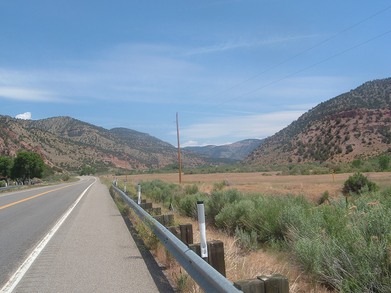
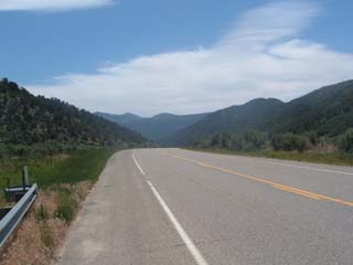
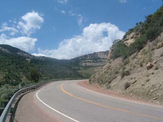
15 miles north of the valley road, the mountain range began. The road I was on entered a deep notch in the range, a flat area that extended in between mountains.
|
|

|
|
|
|

|
|
|
|
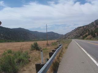
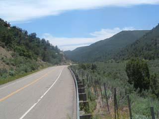
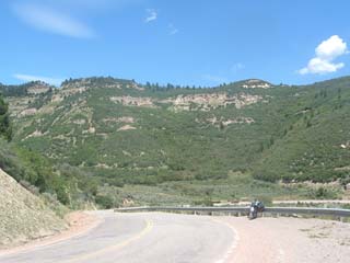
After passing over a hill so as to avoid going right through someone's farm, I found that I was following alongside a creek. I checked my map, and it turns out the creek is called East Salt Creek, if I remember correctly.
|
|
|
|
|
|
|
|
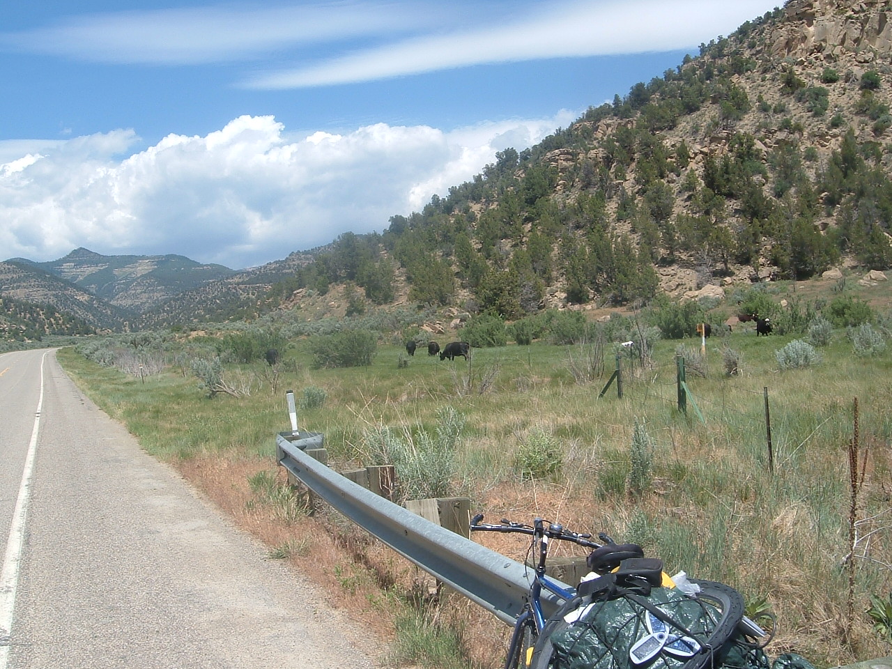
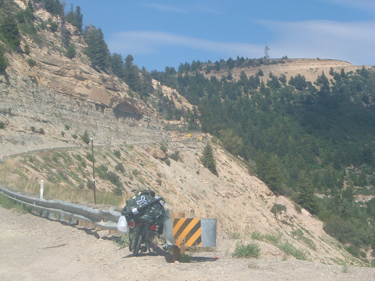
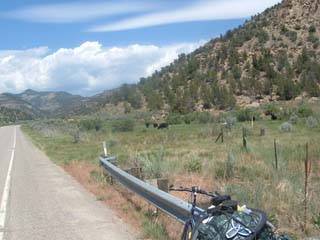
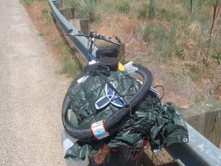
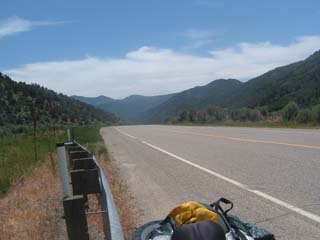
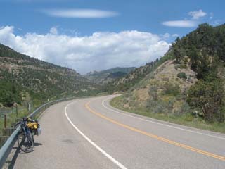
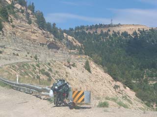
Hey there's my bike! It's heavily loaded and the triangular thingy is a solar battery charger for my cell phone. Pretty neat huh?
|
|
|
|
|
|
|
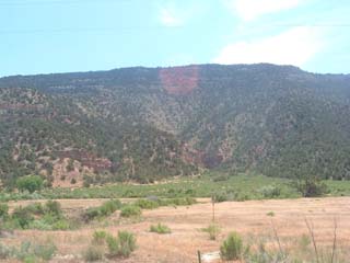
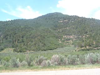
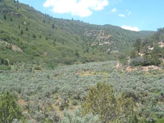
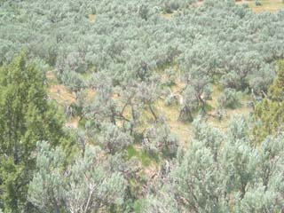
Lots of pale green sage brush...That IS sage brush right? Well whatever is is, there's a whole lot of it up here.
|

|
|
|
|
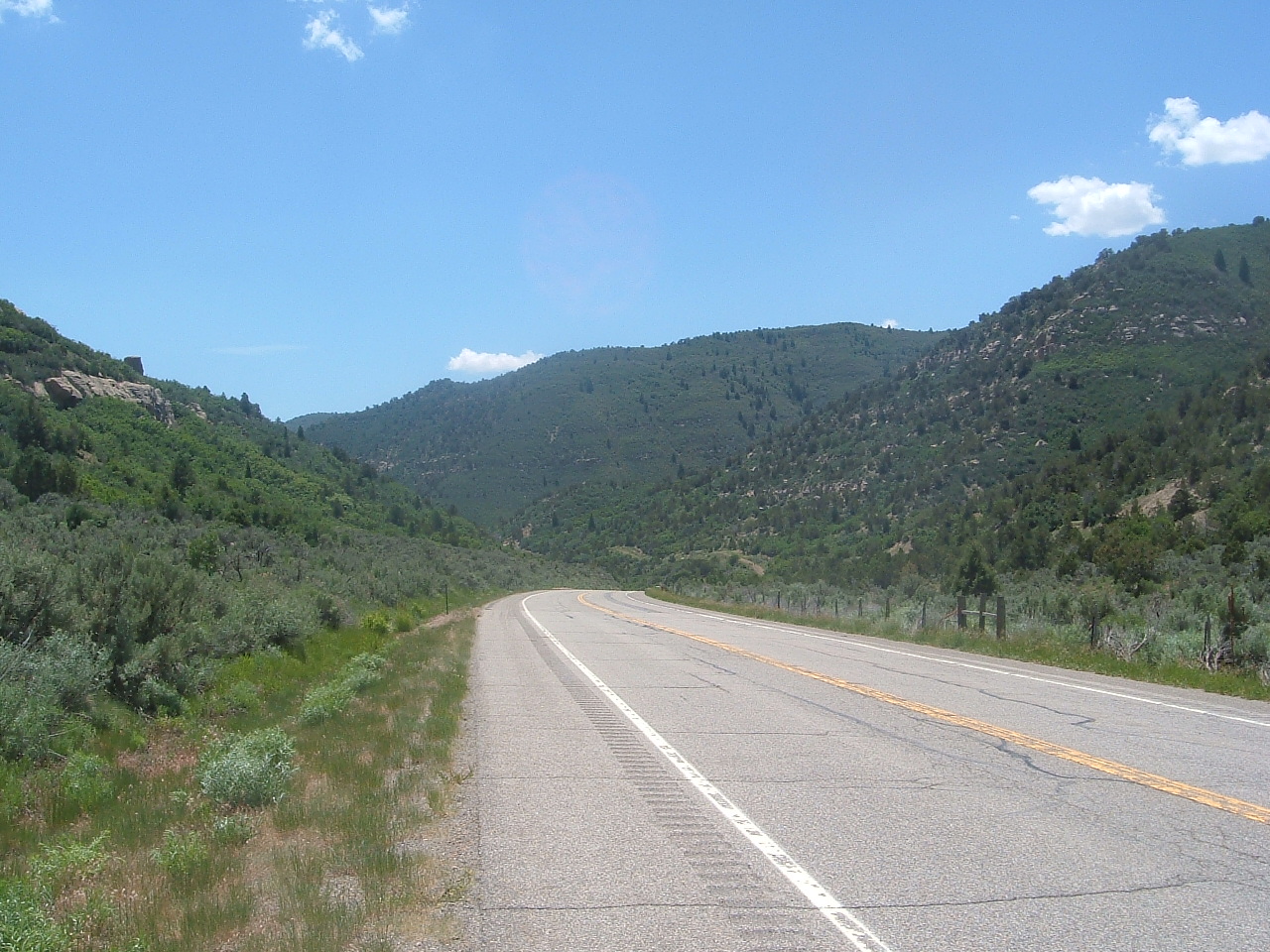
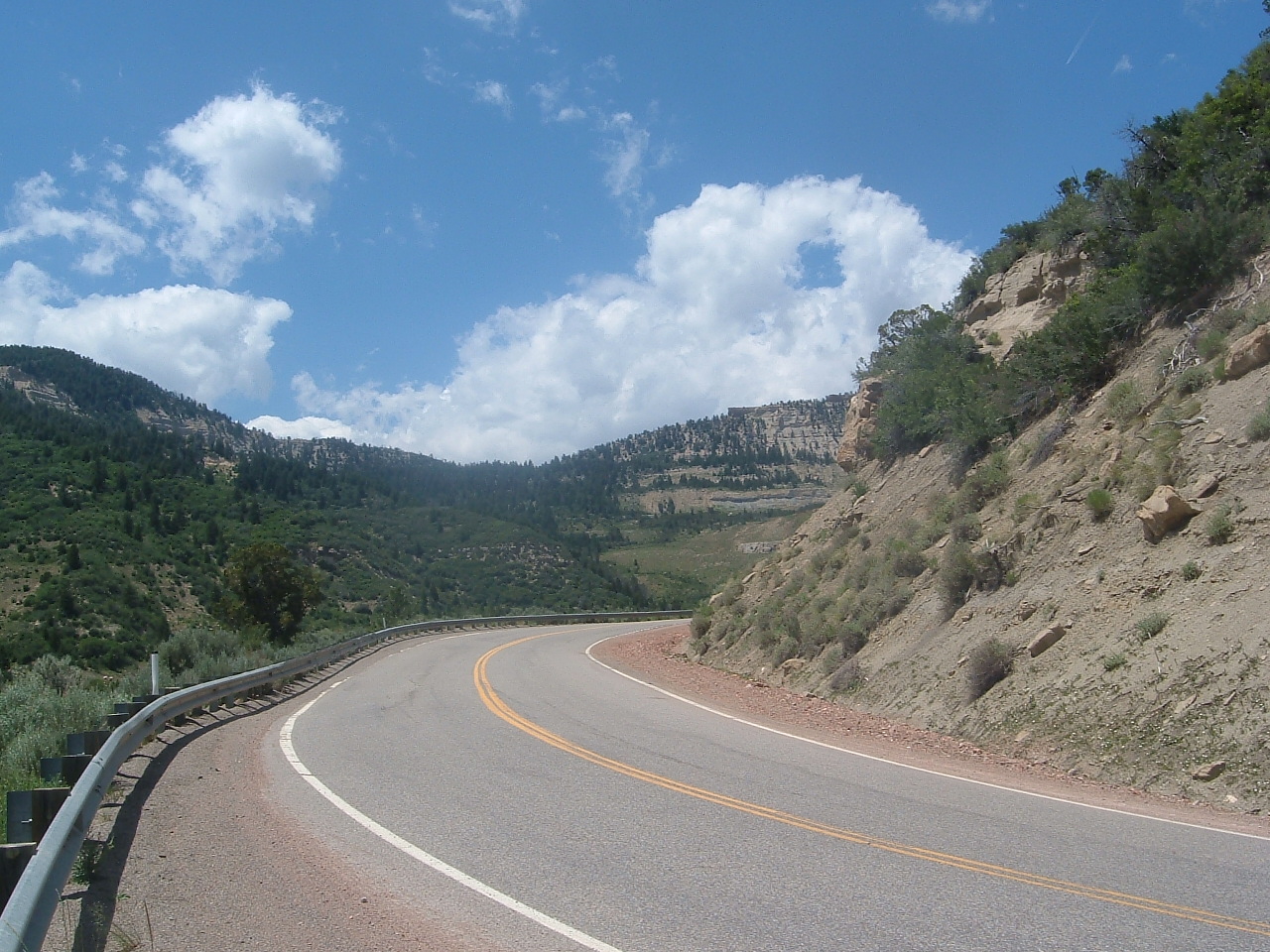
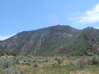
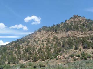
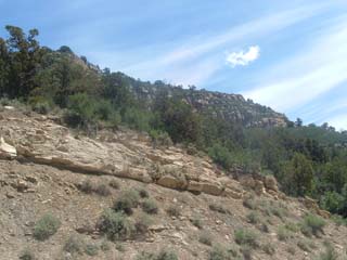
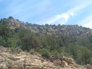
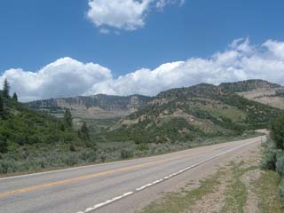
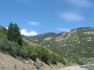
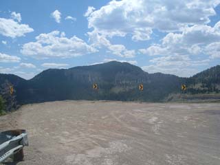
They don't call these the Rocky Mountains for nothing.
|
|
|
|
|
|
|
|
|
|
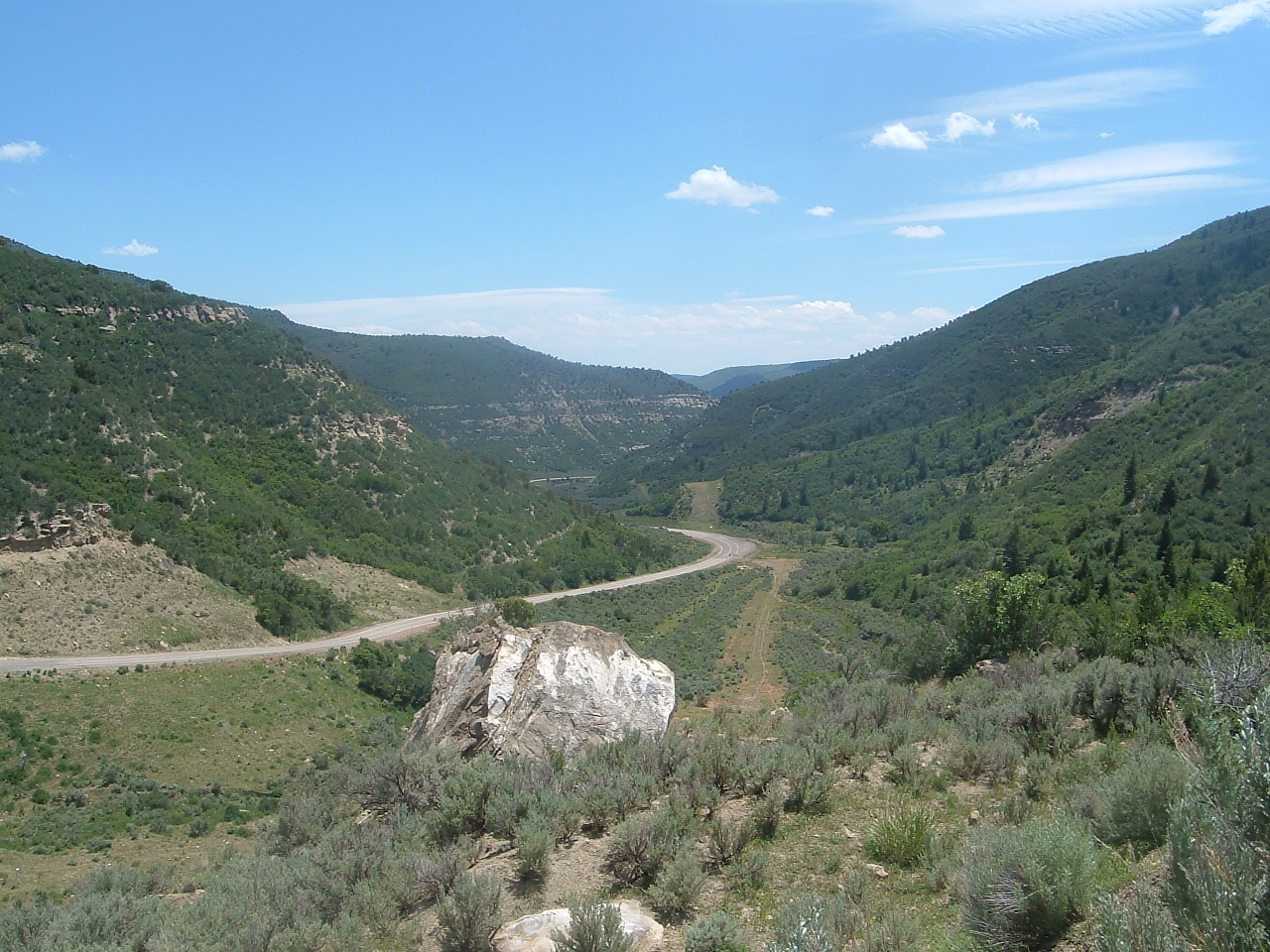
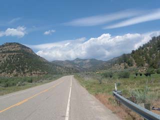
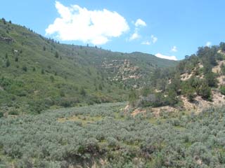
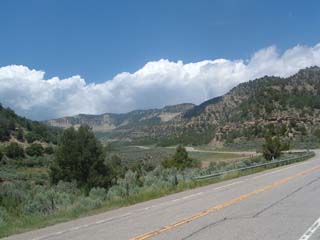
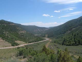
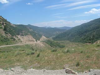
Dry creek beds intersect the valley I am climbing.
|
|
|
|
|
|
|
|
|
|
|
|
|
|
|
|
|
|
|
|
|
|
|
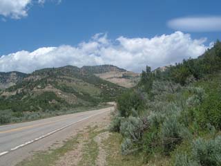
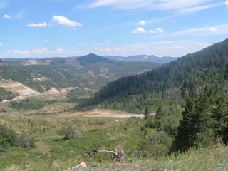
Soon I find my route is taking me up one of these dry creek valleys.
|
|
|

|
|
|
|
|
|
|
|
|
|

|
|
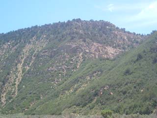
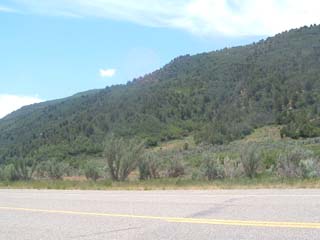
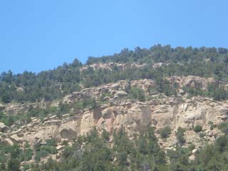
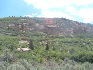
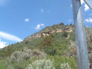
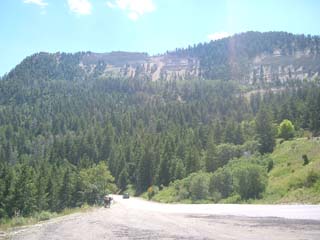
The mountains are getting higher, and the road gets steeper!
|
|
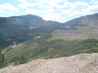
Looking backward the way I came.
|
|
|
|
|
|
|
|
|
|
I'm getting higher and higher up!
|
|
|
This was a real killer to climb.
|
|
|

|
|
Yup. I just biked all the way up this road. *whew*
|
|
|

|
|
Almost there! The actual pass is right around the corner!
|
|
Dun dun dun!
|
|

|
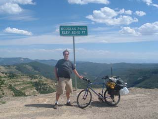
Someone offered to take a picture of me with my bike at the summit!
|
|
Here I am being inflated by the updraft...
|
|
|
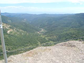
It's sure a long way down...
|
|
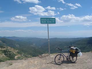
8240 feet! Probably the highest I've ever biked. I'm from low altitude you see.
|
|